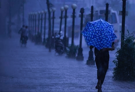
Srinagar, April 3. A strong western disturbance is set to impact Jammu and Kashmir over the next 36 hours, bringing widespread moderate to heavy rainfall across the Union Territory, officials said.
The weather system is expected to affect both plains and higher reaches, with thundershowers and gusty winds likely in several districts, raising the possibility of localised disruptions.
According to meteorological officials, windstorms may accompany the disturbance in some areas, along with thunder activity and isolated hailstorms. Low-lying and vulnerable locations could face a risk of flash floods due to intense rainfall over short durations.
Higher reaches and key mountain passes, including Zojila, Sinthan Top, Mughal Road, Sadhna Top and Razdan Top, are likely to receive fresh snowfall during the period, officials said.
While the primary snowfall activity is expected in higher altitudes, there remains a possibility of light snowfall in middle elevations between 2100 and 2400 metres, although this is considered less likely.
“The system is strong and will bring widespread precipitation across the region,” a meteorological official said, advising residents to remain cautious, especially in areas prone to landslides and flash floods.
Authorities are expected to monitor the situation closely, particularly along major road corridors and mountain routes, where snowfall could temporarily affect movement.
Residents in some areas expressed concern over potential disruptions. “Heavy rain and strong winds can create problems, especially in hilly areas,” said a local resident, reflecting broader public caution ahead of the weather event.
Weather conditions are expected to gradually improve by Sunday, although a few places may continue to receive brief showers even as the system weakens.
Western disturbances are common weather systems affecting northern India, particularly during winter and early spring, often bringing rain and snowfall that are crucial for water resources but can also lead to disruptions when intense.
Leave a Reply